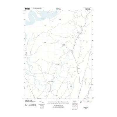
2010 Map of Cassville
USGS Topo · Published 2010About this map
Paradise Furnace and its accompanying Paradise Furnace Cemetery anchor the western edge of this landscape, where the geography is defined by the sharp rise of Terrace Mountain above the Salmon Hole waters. The settlement patterns follow the winding paths of Great Trough Creek and its tributaries, connecting small communities like Cassville, Todd, and Beavertown. The map reveals a high concentration of local history markers, particularly family and community burial grounds such as the Sheridan School Cemetery and Wright Cemetery. To the south, the industrial heritage of the region is noted at the Eagle Foundary near the banks of Sugar Run. This topography shows a traditional Pennsylvania ridge-and-valley layout where roads like Cassville Rd and Smith Valley Rd navigate between prominent heights like Horse Knob and Shirley Knob.
Find a feature on this map
57 named features on this map. Tap any name to fly to it.
Don’t see what you’re looking for? This feature index may not catch every label — zoom into the map to look around manually.
Map Details
Editions of this 2010 Cassville Map
This is the sole edition of this map. No revisions or reprints were ever made.
Other maps of this area

1901 · Huntingdon
USGS Topo · 1:62,500

1904 · Huntingdon
USGS Topo · 1:62,500

1922 · Mt Union
USGS Topo · 1:48,000

1924 · Mt. Union
USGS Topo · 1:62,500

1930 · Broad Top
USGS Topo · 1:62,500

1933 · Broad Top
USGS Topo · 1:62,500

1939 · Orbisonia
USGS Topo · 1:62,500

1940 · Orbisonia
USGS Topo · 1:62,500

1944 · Orbisonia
USGS Topo · 1:62,500

1944 · Mt. Union
USGS Topo · 1:62,500