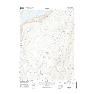
2016 Map of Cassville
USGS Topo · Published 2016About this map
Great Trough Creek and its many tributaries, including Curfman Run and Wilson Run, define the complex drainage patterns of this Huntingdon County landscape. The area is characterized by a high density of small family and community burial grounds, such as Sheridan School Cem, Wright Cem, and Taylor Cem, which offer significant value for genealogical research in these rural valleys. Settlements like Cassville, Todd, and Calvin are situated along a network of winding roads that follow the terrain, while the northern edge of the map reaches the waters of Raystown Lake.
Find a feature on this map
99 named features on this map. Tap any name to fly to it.
Don’t see what you’re looking for? This feature index may not catch every label — zoom into the map to look around manually.
Map Details
Editions of this 2016 Cassville Map
This is the sole edition of this map. No revisions or reprints were ever made.
Other maps of this area

1901 · Huntingdon
USGS Topo · 1:62,500

1904 · Huntingdon
USGS Topo · 1:62,500

1922 · Mt Union
USGS Topo · 1:48,000

1924 · Mt. Union
USGS Topo · 1:62,500

1930 · Broad Top
USGS Topo · 1:62,500

1933 · Broad Top
USGS Topo · 1:62,500

1939 · Orbisonia
USGS Topo · 1:62,500

1940 · Orbisonia
USGS Topo · 1:62,500

1944 · Orbisonia
USGS Topo · 1:62,500

1944 · Mt. Union
USGS Topo · 1:62,500