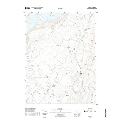
2019 Map of Cassville
USGS Topo · Published 2019About this map
Terrace Mtn and Sideling Hill define the steep relief of this Huntingdon County corridor, where the waters of Great Trough Creek carve through the valley floor. The map records a landscape of small, persistent settlements such as Cassville, Todd, and Calvin, connected by the historic Trough Creek Valley Pike. This area is particularly significant for genealogical research, documenting numerous small burial sites like Evans Family Cem and the Sheridan School Cem, which point to early family farmsteads and rural school districts.
Find a feature on this map
85 named features on this map. Tap any name to fly to it.
Don’t see what you’re looking for? This feature index may not catch every label — zoom into the map to look around manually.
Map Details
Editions of this 2019 Cassville Map
This is the sole edition of this map. No revisions or reprints were ever made.
Other maps of this area

1901 · Huntingdon
USGS Topo · 1:62,500

1904 · Huntingdon
USGS Topo · 1:62,500

1922 · Mt Union
USGS Topo · 1:48,000

1924 · Mt. Union
USGS Topo · 1:62,500

1930 · Broad Top
USGS Topo · 1:62,500

1933 · Broad Top
USGS Topo · 1:62,500

1939 · Orbisonia
USGS Topo · 1:62,500

1940 · Orbisonia
USGS Topo · 1:62,500

1944 · Orbisonia
USGS Topo · 1:62,500

1944 · Mt. Union
USGS Topo · 1:62,500