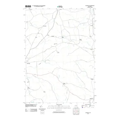
2010 Map of Cassville
USGS Topo · Published 2010About this map
Paris Station and Greens Crossing sit at the center of this rural landscape, representing the small, localized hubs that once defined this part of Oneida County. The map details a web of family-named roads and corners, such as Hubbard Corners and McConnell Corners, which illustrate the long-standing agricultural and residential patterns of the region. The terrain is defined by a series of distinct elevations, including Tassel Hill, Hardscrabble Hill, and the curiously named Mount Hunger, while Sheepskin Hollow cuts through the topography near Waterville.
Find a feature on this map
68 named features on this map. Tap any name to fly to it.
Don’t see what you’re looking for? This feature index may not catch every label — zoom into the map to look around manually.
Map Details
Editions of this 2010 Cassville Map
This is the sole edition of this map. No revisions or reprints were ever made.
Other maps of this area

1895 · Oriskany
USGS Topo · 1:62,500

1898 · Utica
USGS Topo · 1:62,500

1898 · Oriskany
USGS Topo · 1:62,500

1900 · Utica
USGS Topo · 1:62,500

1907 · Winfield
USGS Topo · 1:62,500

1907 · Sangerfield
USGS Topo · 1:62,500

1943 · Utica East
USGS Topo · 1:24,000

1943 · Hubbardsville
USGS Topo · 1:24,000

1943 · Cassville
USGS Topo · 1:24,000

1943 · Unadilla Forks
USGS Topo · 1:24,000