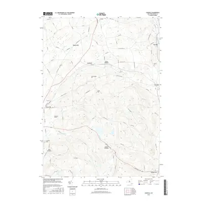
2016 Map of Cassville
USGS Topo · Published 2016About this map
Sauquoit Cr and the Sangerfield River define the drainage of this Oneida County landscape, where small hamlets are connected by a network of colonial-era thoroughfares and valley roads. The village of Clayville and the settlement of Cassville sit along the eastern edge of the quadrangle, reflecting the historical industrial development tied to the water power of the local creeks. Central to the map is the prominent elevation of Tassel Hill, surrounded by a web of rural roads like Canning Factory Rd and Hardscrabble Rd. Genealogists will find the Eastman Cem near Daytonville and the Budlong Cem in the east, which serve as touchstones for the families that settled these hills. From the northern heights of Paris down to the intersection at Bridgewater, the map illustrates a transition from upland farming to the more concentrated valley floors near Waterville.
Find a feature on this map
82 named features on this map. Tap any name to fly to it.
Don’t see what you’re looking for? This feature index may not catch every label — zoom into the map to look around manually.
Map Details
Editions of this 2016 Cassville Map
This is the sole edition of this map. No revisions or reprints were ever made.
Other maps of this area

1895 · Oriskany
USGS Topo · 1:62,500

1898 · Utica
USGS Topo · 1:62,500

1898 · Oriskany
USGS Topo · 1:62,500

1900 · Utica
USGS Topo · 1:62,500

1907 · Winfield
USGS Topo · 1:62,500

1907 · Sangerfield
USGS Topo · 1:62,500

1943 · Utica East
USGS Topo · 1:24,000

1943 · Hubbardsville
USGS Topo · 1:24,000

1943 · Cassville
USGS Topo · 1:24,000

1943 · Unadilla Forks
USGS Topo · 1:24,000