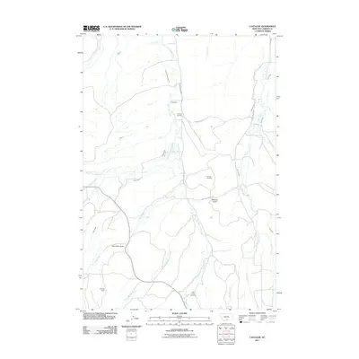
2011 Map of Castagne
USGS Topo · Published 2011About this map
Castagne and Missouri Cutoff serve as the primary human touchpoints in this section of Carbon County, where a complex network of man-made irrigation channels defines the agricultural landscape. The map meticulously documents a century of water management through features like the Pleasant Valley Ditch, Inderlied-Ramshland Ditch, and Main Canal, which divert the flows of Red Lodge Creek and its tributaries to support local ranching and farming.
Find a feature on this map
36 named features on this map. Tap any name to fly to it.
Don’t see what you’re looking for? This feature index may not catch every label — zoom into the map to look around manually.
Map Details
Editions of this 2011 Castagne Map
This is the sole edition of this map. No revisions or reprints were ever made.
Other maps of this area

1932 · Red Lodge No 2
USGS Topo · 1:48,000

1932 · Red Lodge No 1
USGS Topo · 1:48,000

1944 · Red Lodge
USGS Topo · 1:62,500

1954 · Billings
USGS Topo · 1:250,000

1956 · Roscoe
USGS Topo · 1:24,000

1956 · Roscoe NW
USGS Topo · 1:24,000

1956 · Roscoe NE
USGS Topo · 1:24,000

1956 · Roberts
USGS Topo · 1:24,000

1956 · Mount Maurice
USGS Topo · 1:62,500

1956 · Castagne
USGS Topo · 1:24,000