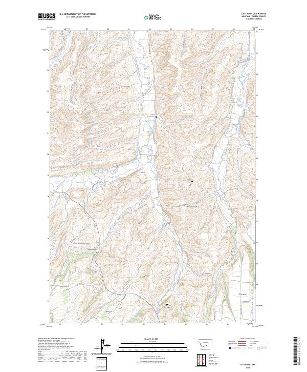
2024 Map of Castagne
USGS Topo · Published 2024About this map
Castagne Cem and the small settlement of Deuel sit at the heart of this Carbon County landscape, where the foothills meet a complex system of agricultural irrigation. The area is defined by an intricate network of man-made waterways like the Pleasant Valley Ditch, Interland-Ramstad Ditch, and the Main Canal, which divert water from the Red Lodge Creek and its many tributaries to sustain the surrounding ranches. Genealogists will find significant value in the distribution of family-named landmarks and resting places, including the Thiel Homestead Cem, Sunrise Cem, and John Henry Cem. The terrain rises from the West Bench toward Jones Hill, revealing a transition between the valley floors and the higher elevations of the Custer Gallatin vicinity. The road network, from Missouri Cutoff Rd to Scilley Mountain Vista Dr, follows the natural contours of the land and the paths of historical ditches.
Find a feature on this map
58 named features on this map. Tap any name to fly to it.
Don’t see what you’re looking for? This feature index may not catch every label — zoom into the map to look around manually.
Map Details
Editions of this 2024 Castagne Map
This is the sole edition of this map. No revisions or reprints were ever made.
Other maps of this area

1932 · Red Lodge No 2
USGS Topo · 1:48,000

1932 · Red Lodge No 1
USGS Topo · 1:48,000

1944 · Red Lodge
USGS Topo · 1:62,500

1954 · Billings
USGS Topo · 1:250,000

1956 · Roscoe
USGS Topo · 1:24,000

1956 · Roscoe NW
USGS Topo · 1:24,000

1956 · Roscoe NE
USGS Topo · 1:24,000

1956 · Roberts
USGS Topo · 1:24,000

1956 · Mount Maurice
USGS Topo · 1:62,500

1956 · Castagne
USGS Topo · 1:24,000