
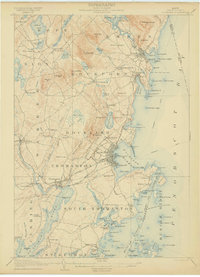
1902 Map of Castine
USGS Topo · Published 1902About this map
Castine sits at the strategic convergence of Penobscot Bay and the Bagaduce River, anchoring a coastal landscape defined by maritime industry and early Maine history at the turn of the twentieth century. The map highlights the town's importance with Ft. George and Hospital I. guarding the approach to Castine Harbor. Across the water, the sprawling length of North Islesboro and South Islesboro reveal a network of landings and small harbors such as Sabbathday Harbor and Seal Harbor, reflecting the era's reliance on coastal transport before modern bridge connections.
Find a feature on this map
116 named features on this map. Tap any name to fly to it.
Don’t see what you’re looking for? This feature index may not catch every label — zoom into the map to look around manually.
Map Details
Editions of this 1902 Castine Map
This is the sole edition of this map. No revisions or reprints were ever made.
Other maps of this area

1900 · Orland
USGS Topo · 1:62,500

1900 · Bucksport
USGS Topo · 1:62,500

1902 · Bucksport
USGS Topo · 1:62,500
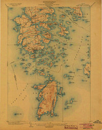
1904 · Deer Isle
USGS Topo · 1:62,500

1904 · Castine
USGS Topo · 1:62,500
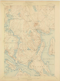
1904 · Bluehill
USGS Topo · 1:62,500
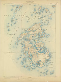
1904 · Vinalhaven
USGS Topo · 1:62,500
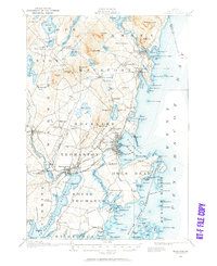
1904 · Rockland
USGS Topo · 1:62,500

1905 · Penobscot Bay
USGS Topo · 1:125,000
1906 · Rockland
USGS Topo · 1:62,500