
1941 Map of Castine
USGS Topo · Published 1959About this map
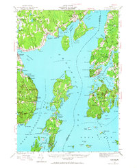
Penobscot River and Belfast Bay define this maritime landscape, where the deep waters of Castine Harbor and Searsport Harbor facilitated a legacy of coastal trade. On the eastern shore, the village of Castine remains a focal point of historical significance, marked by the site of Fort George and several local institutions like the town Hospital. Across the water, the Bangor and Aroostook railroad terminates at Mack Pt, linking the inland economy to the shipping lanes of Long Cove.
Find a feature on this map
149 named features on this map. Tap any name to fly to it.
Don’t see what you’re looking for? This feature index may not catch every label — zoom into the map to look around manually.
Map Details
Editions of this 1941 Castine Map
4 editions found
Other maps of this area

1900 · Orland
USGS Topo · 1:62,500

1900 · Bucksport
USGS Topo · 1:62,500

1902 · Bucksport
USGS Topo · 1:62,500

1902 · Castine
USGS Topo · 1:62,500

1904 · Deer Isle
USGS Topo · 1:62,500

1904 · Castine
USGS Topo · 1:62,500

1904 · Bluehill
USGS Topo · 1:62,500

1904 · Vinalhaven
USGS Topo · 1:62,500

1904 · Rockland
USGS Topo · 1:62,500

1905 · Penobscot Bay
USGS Topo · 1:125,000