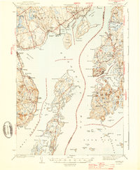
1943 Map of Castine
USGS Topo · Published 1943About this map
The maritime gateway of Penobscot Bay is captured in this wartime survey, showing the intricate island networks and deep-water harbors of coastal Maine. Castine stands as a focal point on the eastern shore, marked by its dense street grid and the site of Fort George. Across the water, the long reach of Islesboro dominates the central bay, featuring the distinct summer colony of Dark Harbor and the northern settlement of Pripet. The map illustrates a landscape transitioning from traditional maritime trade to a modern coastal economy, with the rail terminus at Searsport Sta and the industrial footprint near Mack Pt in Searsport. Rural life is etched into the mainland through family-named landmarks like McClure Pond and essential community hubs such as Bethany Chapel and the Emerson Sch. The coastline's complexity is revealed through numerous coves and points, including the prominent Cape Rosier and the inland reaches of the Bagaduce River.
Find a feature on this map
143 named features on this map. Tap any name to fly to it.
Don’t see what you’re looking for? This feature index may not catch every label — zoom into the map to look around manually.
Map Details
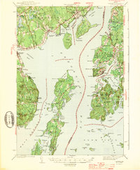
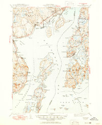
Editions of this 1943 Castine Map
3 editions found
Other maps of this area

1900 · Orland
USGS Topo · 1:62,500

1900 · Bucksport
USGS Topo · 1:62,500

1902 · Bucksport
USGS Topo · 1:62,500

1902 · Castine
USGS Topo · 1:62,500

1904 · Deer Isle
USGS Topo · 1:62,500

1904 · Castine
USGS Topo · 1:62,500

1904 · Bluehill
USGS Topo · 1:62,500

1904 · Vinalhaven
USGS Topo · 1:62,500

1904 · Rockland
USGS Topo · 1:62,500

1905 · Penobscot Bay
USGS Topo · 1:125,000