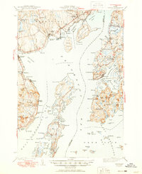
1943 Map of Castine
USGS Topo · Published 1950About this map
Penobscot Bay and the interconnected waterways of the Bagaduce River dominate this coastal landscape as it appeared in the early 1940s. The strategic and maritime importance of the region is anchored by the historic Fort George in Castine, while the island community of Islesboro stretches through the center of the bay, featuring settlements like Dark Harbor and Pripet. The mainland coastal economy is visible through the rail lines of the Bangor and Aroostook serving Searsport Sta and the industrial activity near Stockton Harbor. This survey preserves the locations of several local educational landmarks, including Emerson Sch and Union District Sch, alongside rural religious centers like Bethany Chapel. The map documents a complex shoreline of coves and points, from Cape Jellison in the north to the many-fingered reaches of Smith Cove and Orcutt Harbor to the east.
Find a feature on this map
146 named features on this map. Tap any name to fly to it.
Don’t see what you’re looking for? This feature index may not catch every label — zoom into the map to look around manually.
Map Details
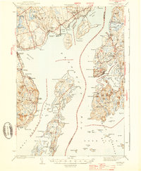
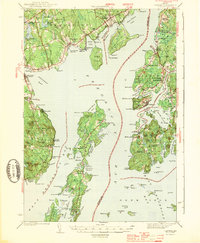
Editions of this 1943 Castine Map
3 editions found
Other maps of this area

1900 · Orland
USGS Topo · 1:62,500

1900 · Bucksport
USGS Topo · 1:62,500

1902 · Bucksport
USGS Topo · 1:62,500

1902 · Castine
USGS Topo · 1:62,500

1904 · Deer Isle
USGS Topo · 1:62,500

1904 · Castine
USGS Topo · 1:62,500

1904 · Bluehill
USGS Topo · 1:62,500

1904 · Vinalhaven
USGS Topo · 1:62,500

1904 · Rockland
USGS Topo · 1:62,500

1905 · Penobscot Bay
USGS Topo · 1:125,000