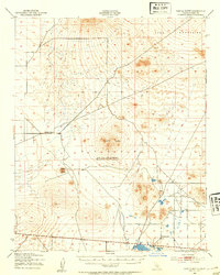
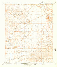
1943 Map of Castle Butte
USGS Topo · Published 1954About this map
Mojave Desert peaks and isolated ranchsteads define this 1943 survey, capturing the arid landscape of Kern County during the Second World War. The terrain is dominated by the Rand Mountains to the north and prominent volcanic remnants such as Castle Butte and Desert Butte. This mapping is particularly notable for showing the convergence of two major surveying systems, where the Mount Diablo Base and Meridian meets the San Bernardino Base and Meridian, a critical point for land claims and property history in California.
Find a feature on this map
9 named features on this map. Tap any name to fly to it.
Don’t see what you’re looking for? This feature index may not catch every label — zoom into the map to look around manually.
Map Details
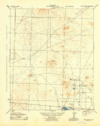
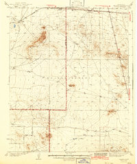
Editions of this 1943 Castle Butte Map
2 editions found
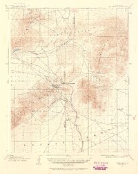
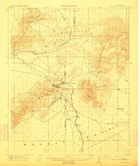
Other maps of this area

1903 · Randsburg
USGS Topo · 1:62,500
1911 · Randsburg
USGS Topo · 1:62,500
1912 · Randsburg
USGS Topo · 1:62,500

1915 · Elizabeth Lake
USGS Topo · 1:125,000

1915 · Searles Lake
USGS Topo · 1:250,000

1915 · Mojave
USGS Topo · 1:125,000

1917 · Elizabeth Lake
USGS Topo · 1:125,000

1937 · Kramer
USGS Topo · 1:48,000
1937 · Rogers Lake
USGS Topo · 1:48,000
1942 · Kramer
USGS Topo · 1:62,500