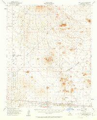
1956 Map of Castle Butte
USGS Topo · Published 1961About this map
The expanding military footprint of the High Desert dominates this mid-century survey, specifically the Edwards Air Force Base Flight Test Center stretching across the southern portion of the map. This area, encompassing the northern edge of Rogers Lake, served as a critical aerospace corridor during the early jet and rocket era. Small rail-side nodes like North Muroc and Muroc Junction sit along the Atchison Topeka and Santa Fe railroad, marking the intersection of civilian transport and defense infrastructure. To the north, the landscape transitions into ranching and resource extraction, evidenced by Mendiburu Ranch and Thundering Herd Ranch. The presence of several Prospects and Quarries near Rand Mountains indicates the persistent search for minerals in this arid basin. Prominent geological landmarks such as Castle Butte and Desert Butte anchor the wide expanses of Peerless Valley, connected by early thoroughfares like Neuralia Road and Mojave Randsburg Road.
Find a feature on this map
24 named features on this map. Tap any name to fly to it.
Don’t see what you’re looking for? This feature index may not catch every label — zoom into the map to look around manually.
Map Details
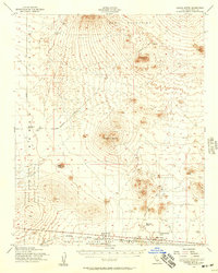
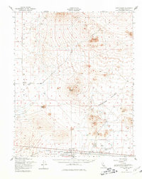
Editions of this 1956 Castle Butte Map
3 editions found
Other maps of this area

1903 · Randsburg
USGS Topo · 1:62,500

1911 · Randsburg
USGS Topo · 1:62,500

1912 · Randsburg
USGS Topo · 1:62,500

1915 · Elizabeth Lake
USGS Topo · 1:125,000

1915 · Searles Lake
USGS Topo · 1:250,000

1915 · Mojave
USGS Topo · 1:125,000

1917 · Elizabeth Lake
USGS Topo · 1:125,000

1937 · Kramer
USGS Topo · 1:48,000

1937 · Rogers Lake
USGS Topo · 1:48,000

1942 · Kramer
USGS Topo · 1:62,500