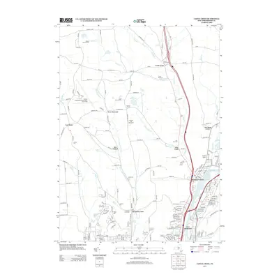
2013 Map of Castle Creek
USGS Topo · Published 2013About this map
Port Dickinson anchors the southern reaches of this landscape, situated at the confluence of several essential watercourses where the Chenango River meets Brandywine Cr. Moving north from the river valley, the terrain rises toward Deyo Hill, marking a transition from urban corridors to a network of rural settlements such as Choconut Center and Glen Castle. The area's mid-century aviation heritage is centered at the Greater Binghamton Airport/Edwin A Link Field on the western plateau near East Maine.
Find a feature on this map
175 named features on this map. Tap any name to fly to it.
Don’t see what you’re looking for? This feature index may not catch every label — zoom into the map to look around manually.
Map Details
Editions of this 2013 Castle Creek Map
This is the sole edition of this map. No revisions or reprints were ever made.
Other maps of this area

1901 · Apalachin
USGS Topo · 1:62,500

1903 · Harford
USGS Topo · 1:62,500

1904 · Binghamton
USGS Topo · 1:62,500

1904 · Greene
USGS Topo · 1:62,500

1904 · Apalachin
USGS Topo · 1:62,500

1906 · Catatonk
USGS Topo · 1:125,000

1934 · Castle Creek
USGS Topo · 1:24,000

1935 · Binghamton West
USGS Topo · 1:24,000

1935 · Chenango Forks
USGS Topo · 1:24,000

1937 · Binghamton East
USGS Topo · 1:24,000