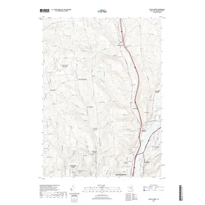
2019 Map of Castle Creek
USGS Topo · Published 2019About this map
Binghamton and Johnson City anchor the southern reaches of this Broome County landscape, where the Chenango River flows toward its confluence. The terrain is defined by a series of north-south valleys carved by waterways like Little Choconut Cr, Glen Castle Cr, and Castle Cr, creating a ridge-and-valley pattern that has dictated local development. Higher elevations are marked by many family-named cemeteries and landmarks, including Dimmick Hill Cem and Sacred Heart Cem, which serve as vital points of reference for local genealogy.
Find a feature on this map
125 named features on this map. Tap any name to fly to it.
Don’t see what you’re looking for? This feature index may not catch every label — zoom into the map to look around manually.
Map Details
Editions of this 2019 Castle Creek Map
This is the sole edition of this map. No revisions or reprints were ever made.
Other maps of this area

1901 · Apalachin
USGS Topo · 1:62,500

1903 · Harford
USGS Topo · 1:62,500

1904 · Binghamton
USGS Topo · 1:62,500

1904 · Greene
USGS Topo · 1:62,500

1904 · Apalachin
USGS Topo · 1:62,500

1906 · Catatonk
USGS Topo · 1:125,000

1934 · Castle Creek
USGS Topo · 1:24,000

1935 · Binghamton West
USGS Topo · 1:24,000

1935 · Chenango Forks
USGS Topo · 1:24,000

1937 · Binghamton East
USGS Topo · 1:24,000