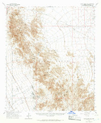
1965 Map of Castle Dome Mts
USGS Topo · Published 1966About this map
The Castle Dome Mountains dominate this mid-1960s landscape, serving as a backdrop for a desert economy defined by isolated mining claims and water management. To the west, the Yuma Proving Ground creates a sharp administrative boundary across the La Posa Plain, while the interior of the range is dotted with significant mining sites such as the Hull Mine, Colorado Mine, and Keystone Mine. The presence of the Colorado Mine Cem near these workings highlights the permanence of these remote outposts during their operational years.
Find a feature on this map
37 named features on this map. Tap any name to fly to it.
Don’t see what you’re looking for? This feature index may not catch every label — zoom into the map to look around manually.
Map Details
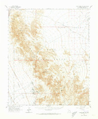
Editions of this 1965 Castle Dome Mts Map
2 editions found
Other maps of this area

1928 · Norton
USGS Topo · 1:62,500

1929 · Laguna
USGS Topo · 1:62,500

1929 · Norton
USGS Topo · 1:62,500

1934 · Trigo Peaks
USGS Topo · 1:48,000

1939 · Red Hill
USGS Topo · 1:62,500

1939 · Trigo Peaks
USGS Topo · 1:62,500

1942 · Yuma
USGS Topo · 1:250,000

1942 · Blythe
USGS Topo · 1:250,000

1942 · Vicksburg
USGS Topo · 1:250,000

1943 · Laguna
USGS Topo · 1:62,500