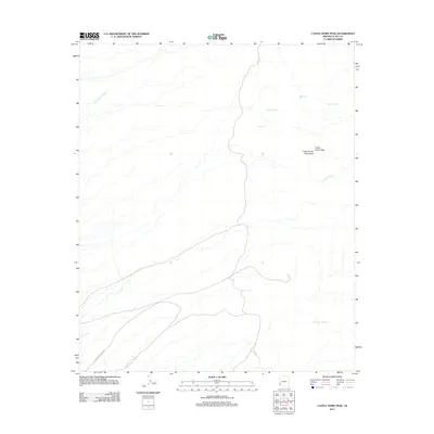
2011 Map of Castle Dome Peak
USGS Topo · Published 2011About this map
Castle Dome Peak dominates the landscape of Yuma County, marking a prominent high point in the Castle Dome Mountains. This arid terrain is defined by a network of drainage features such as Los Angeles Wash and Gravel Wash, which indicate the seasonal movement of water through the desert floor. Human activity and livestock management are evidenced by several catchment sites, including McPherson Tank, Saguaro Tank, and Hanging Tank, as well as the secluded Doc Carter Spring. The primary access into this remote mining district is via the Castle Dome Mine Rd, which cuts across the southwest corner of the quadrangle. The map captures the specialized infrastructure of the American Southwest, where water sources and access roads are critical for navigating the dry mountain ranges.
Find a feature on this map
10 named features on this map. Tap any name to fly to it.
Don’t see what you’re looking for? This feature index may not catch every label — zoom into the map to look around manually.
Map Details
Editions of this 2011 Castle Dome Peak Map
This is the sole edition of this map. No revisions or reprints were ever made.
Other maps of this area

1929 · Laguna
USGS Topo · 1:62,500

1939 · Red Hill
USGS Topo · 1:62,500

1942 · Yuma
USGS Topo · 1:250,000

1942 · Blythe
USGS Topo · 1:250,000

1943 · Laguna
USGS Topo · 1:62,500

1954 · El Centro
USGS Topo · 1:250,000

1954 · Salton Sea
USGS Topo · 1:250,000

1954 · Red Hill
USGS Topo · 1:62,500

1955 · Salton Sea
USGS Topo · 1:250,000

1955 · El Centro
USGS Topo · 1:250,000