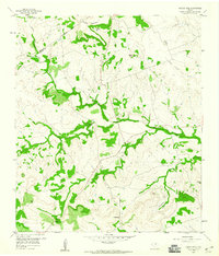
1959 Map of Castle Peak
USGS Topo · Published 1960About this map
Oneal Cem sits near the heart of this Central Texas landscape, marking the local history of families who settled along the creek drainages at the boundary of Mills and Lampasas Counties. The terrain is defined by its dramatic relief, where North Simms Creek and its tributaries carve through the limestone hills. Prominent elevations like Castle Peak and Payne Mountain overlook a network of seasonal watercourses and sheltered areas such as Snipes Cove and Horsethief Cove.
Find a feature on this map
16 named features on this map. Tap any name to fly to it.
Don’t see what you’re looking for? This feature index may not catch every label — zoom into the map to look around manually.
Map Details
Editions of this 1959 Castle Peak Map
2 editions found
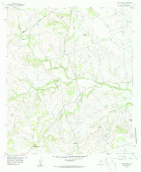
Other maps of this area

1887 · Lampasas
USGS Topo · 1:125,000

1894 · Lampasas
USGS Topo · 1:125,000

1954 · Brownwood
USGS Topo · 1:250,000

1954 · Evant
USGS Topo · 1:62,500

1954 · Lampasas
USGS Topo · 1:62,500

1954 · Evant
USGS Topo · 1:24,000
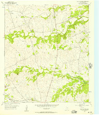
1954 · Flat Top Peak
USGS Topo · 1:24,000
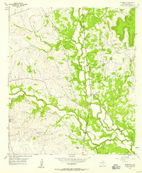
1954 · Adamsville
USGS Topo · 1:24,000
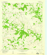
1959 · Star
USGS Topo · 1:24,000
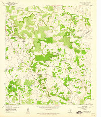
1959 · Antelope Gap
USGS Topo · 1:24,000