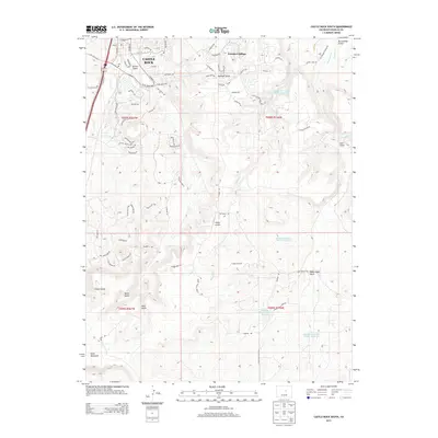
2013 Map of Castle Rock South
USGS Topo · Published 2013About this map
Castle Rock anchors the northwestern corner of this study, reflecting the modern residential footprint as it expanded south into the canyon and mesa country of central Colorado. The topography is defined by a series of parallel drainages, most notably Sellers Gulch, Mitchell Gulch, and Lake Gulch, which carve through the high ground towards the Plum Cr and Cherry Cr systems. To the east, Founders Village shows the pattern of late-twentieth-century suburban growth, while the surrounding lands remain dominated by significant relief features like Yucca Hills and the prominent Hunt Mountain to the southwest.
Find a feature on this map
85 named features on this map. Tap any name to fly to it.
Don’t see what you’re looking for? This feature index may not catch every label — zoom into the map to look around manually.
Map Details
Editions of this 2013 Castle Rock South Map
This is the sole edition of this map. No revisions or reprints were ever made.
Other maps of this area

1894 · Castle Rock
USGS Topo · 1:125,000

1913 · Castle Rock
USGS Topo · 1:125,000

1939 · Elizabeth
USGS Topo · 1:62,500

1940 · Elbert
USGS Topo · 1:62,500

1940 · Castle Rock
USGS Topo · 1:62,500

1944 · Elbert
USGS Topo · 1:62,500

1945 · Castle Rock
USGS Topo · 1:62,500

1945 · Elizabeth
USGS Topo · 1:62,500

1953 · Denver
USGS Topo · 1:250,000

1954 · Cherry Valley School
USGS Topo · 1:24,000