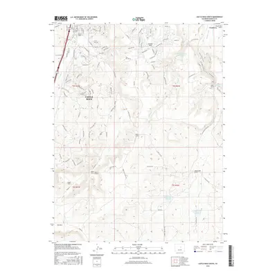
2016 Map of Castle Rock South
USGS Topo · Published 2016About this map
The town of Castle Rock anchors this 2016 survey, showcasing the suburban expansion of Douglas County as it meets the natural topography of the Front Range. While the street grid of the town center includes established routes like Wilcox St and Perry St, the surrounding area is defined by a complex network of drainages and reservoirs. The map traces the paths of Plum Cr and Cherry Cr, alongside numerous dry gulches such as Mitchell Gulch and Russellville Gulch. These natural waterways are augmented by human engineering, visible in the Arapahoe Canal and the Franktown Parker FPLG-2 Reservoir. Further east, the settlement of Franktown sits near the confluence of local gulches, while landmarks like Kelgun Airport and the prominent Hunt Mtn offer fixed points of reference amidst the rapidly developing residential landscape.
Find a feature on this map
107 named features on this map. Tap any name to fly to it.
Don’t see what you’re looking for? This feature index may not catch every label — zoom into the map to look around manually.
Map Details
Editions of this 2016 Castle Rock South Map
This is the sole edition of this map. No revisions or reprints were ever made.
Other maps of this area

1894 · Castle Rock
USGS Topo · 1:125,000

1913 · Castle Rock
USGS Topo · 1:125,000

1939 · Elizabeth
USGS Topo · 1:62,500

1940 · Elbert
USGS Topo · 1:62,500

1940 · Castle Rock
USGS Topo · 1:62,500

1944 · Elbert
USGS Topo · 1:62,500

1945 · Castle Rock
USGS Topo · 1:62,500

1945 · Elizabeth
USGS Topo · 1:62,500

1953 · Denver
USGS Topo · 1:250,000

1954 · Cherry Valley School
USGS Topo · 1:24,000