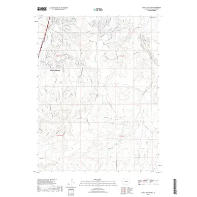
2019 Map of Castle Rock South
USGS Topo · Published 2019About this map
Castle Rock sits at the northern edge of this high-altitude landscape, where the suburban expansion of Douglas County meets the complex drainage systems of the Colorado Front Range foothills. The terrain is defined by prominent landforms such as Memmen Ridge and Hunt Mtn, which overlook a network of seasonal and perennial waterways including Plum Creek, Sellers Gulch, and Lake Gulch. A clear transition from residential development to more open rangeland is evident as one moves south toward Upper Lake Gulch.
Find a feature on this map
105 named features on this map. Tap any name to fly to it.
Don’t see what you’re looking for? This feature index may not catch every label — zoom into the map to look around manually.
Map Details
Editions of this 2019 Castle Rock South Map
This is the sole edition of this map. No revisions or reprints were ever made.
Other maps of this area

1894 · Castle Rock
USGS Topo · 1:125,000

1913 · Castle Rock
USGS Topo · 1:125,000

1939 · Elizabeth
USGS Topo · 1:62,500

1940 · Elbert
USGS Topo · 1:62,500

1940 · Castle Rock
USGS Topo · 1:62,500

1944 · Elbert
USGS Topo · 1:62,500

1945 · Castle Rock
USGS Topo · 1:62,500

1945 · Elizabeth
USGS Topo · 1:62,500

1953 · Denver
USGS Topo · 1:250,000

1954 · Cherry Valley School
USGS Topo · 1:24,000