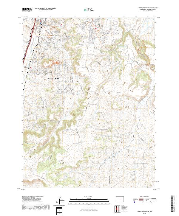
2022 Map of Castle Rock South
USGS Topo · Published 2022About this map
The southern edges of Castle Rock are defined by a complex network of canyons and gulches in this recent topographic study. The landscape is characterized by the convergence of several waterways, including Plum Creek, Sellers Gulch, and the prominent Lake Gulch which cuts deep into the plateau south of the town center. Residential expansion is evident in the residential developments surrounding Memmen Ridge Trl and East Plum Creek Trl, while the outskirts retain an open character where features like the Kelgun Airport and the Franktown Parker FPW-1 Reservoir sit between the rising elevations of Hunt Mtn and the Yucca Hills Rd. Historic agricultural remnants are still visible on the terrain through features like the John Jones Ditch and the Arapahoe Canal near Russellville Gulch.
Find a feature on this map
131 named features on this map. Tap any name to fly to it.
Don’t see what you’re looking for? This feature index may not catch every label — zoom into the map to look around manually.
Map Details
Editions of this 2022 Castle Rock South Map
This is the sole edition of this map. No revisions or reprints were ever made.
Other maps of this area

1894 · Castle Rock
USGS Topo · 1:125,000

1913 · Castle Rock
USGS Topo · 1:125,000

1939 · Elizabeth
USGS Topo · 1:62,500

1940 · Elbert
USGS Topo · 1:62,500

1940 · Castle Rock
USGS Topo · 1:62,500

1944 · Elbert
USGS Topo · 1:62,500

1945 · Castle Rock
USGS Topo · 1:62,500

1945 · Elizabeth
USGS Topo · 1:62,500

1953 · Denver
USGS Topo · 1:250,000

1954 · Cherry Valley School
USGS Topo · 1:24,000