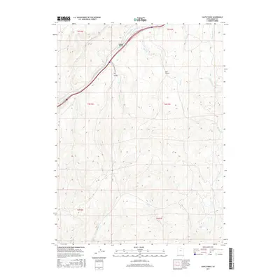
2017 Map of Castle Rock
USGS Topo · Published 2017About this map
Castle Rock sits at a critical transit junction in the high canyons of northern Summit County, where the Interstate 80 corridor follows the winding path of Echo Cr and the historic rail lines. This landscape is defined by its dramatic drainage networks, with Stag Canyon and Ellis Canyon cutting through the high country to feed into the valley below. The presence of Aspen Meadow Ranch Rd suggests the modern pastoral and ranching utility of this high-elevation terrain, while the dense network of tributaries like Huff Cr, Rees Cr, and Cache Cave Cr illustrates the complex hydrology that has shaped the region's topography and settlement patterns. The map provides a precise look at the township and range boundaries that grid this portion of Utah, showing how human infrastructure and property lines are superimposed upon a challenging natural environment.
Find a feature on this map
17 named features on this map. Tap any name to fly to it.
Don’t see what you’re looking for? This feature index may not catch every label — zoom into the map to look around manually.
Map Details
Editions of this 2017 Castle Rock Map
This is the sole edition of this map. No revisions or reprints were ever made.
Other maps of this area

1885 · Salt Lake
USGS Topo · 1:250,000

1900 · Coalville
USGS Topo · 1:125,000

1903 · Coalville
USGS Topo · 1:125,000

1954 · Salt Lake City
USGS Topo · 1:250,000

1954 · Ogden
USGS Topo · 1:250,000

1958 · Ogden
USGS Topo · 1:250,000

1958 · Salt Lake City
USGS Topo · 1:250,000

1960 · Ogden
USGS Topo · 1:250,000

1960 · Salt Lake City
USGS Topo · 1:250,000

1964 · Francis Canyon
USGS Topo · 1:24,000