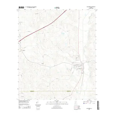
2014 Map of Castleberry
USGS Topo · Published 2014About this map
Castleberry serves as the primary hub of this south Alabama landscape, situated along a north-south transportation corridor marked by W Railroad St and E Railroad St. The surrounding countryside is defined by a dense network of watercourses, including the curiously named Murder Cr and Panther Cr, which drain the undulating terrain near Hobbs Hl. Smaller communities like London and Sand Cut are connected by rural routes such as Appleton Rd and Geaton Rd. Local heritage is preserved in several burial grounds, including Marietta Cem, Buffington Cem, and Holland Cem, providing valuable touchpoints for genealogical research. The map captures a mix of agricultural land and wooded creek bottoms, with numerous water bodies like Thurmond Pond and Carter Lake dotting the region as it transitions across the Conecuh and Escambia county line.
Find a feature on this map
58 named features on this map. Tap any name to fly to it.
Don’t see what you’re looking for? This feature index may not catch every label — zoom into the map to look around manually.
Map Details
Editions of this 2014 Castleberry Map
This is the sole edition of this map. No revisions or reprints were ever made.
Other maps of this area

1953 · Andalusia
USGS Topo · 1:250,000

1957 · Andalusia
USGS Topo · 1:250,000

1960 · Brewton North
USGS Topo · 1:24,000

1960 · Wallace
USGS Topo · 1:24,000

1971 · Range
USGS Topo · 1:24,000

1971 · Castleberry
USGS Topo · 1:24,000

1971 · Belleville
USGS Topo · 1:24,000

1971 · Repton
USGS Topo · 1:24,000

1982 · Shipps Creek
USGS Topo · 1:24,000

1982 · Evergreen
USGS Topo · 1:24,000