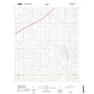
2018 Map of Castleberry
USGS Topo · Published 2018About this map
The town of Castleberry serves as the focal point of this South Alabama survey, situated where the landscape transitions across the Conecuh Co Escambia Co border. This area is defined by a dense network of tributaries including Panther Cr, Jordan Cr, and Murder Creek, which drain into the larger wetlands to the south. Local heritage is preserved in several rural burial grounds such as Marietta Cem, Buffington Cem, and Holland Cem, often located near early settlement nodes like London. The infrastructure is heavily influenced by the rail corridor, as evidenced by E Railroad St and W Railroad St flanking the tracks through the town center. To the west, Hobbs Hill provides a modest elevation change in an otherwise creek-dissected terrain, while man-made water features like W J Ellis Lake and Carter Lake dot the countryside.
Find a feature on this map
72 named features on this map. Tap any name to fly to it.
Don’t see what you’re looking for? This feature index may not catch every label — zoom into the map to look around manually.
Map Details
Editions of this 2018 Castleberry Map
This is the sole edition of this map. No revisions or reprints were ever made.
Other maps of this area

1953 · Andalusia
USGS Topo · 1:250,000

1957 · Andalusia
USGS Topo · 1:250,000

1960 · Brewton North
USGS Topo · 1:24,000

1960 · Wallace
USGS Topo · 1:24,000

1971 · Range
USGS Topo · 1:24,000

1971 · Castleberry
USGS Topo · 1:24,000

1971 · Belleville
USGS Topo · 1:24,000

1971 · Repton
USGS Topo · 1:24,000

1982 · Shipps Creek
USGS Topo · 1:24,000

1982 · Evergreen
USGS Topo · 1:24,000