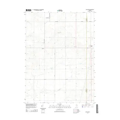
2015 Map of Castleton
USGS Topo · Published 2015About this map
Castleton and Camp Grove anchor this section of the Illinois prairie along the border of Stark and Marshall Counties. The landscape is defined by a series of waterways, primarily Senachwine Cr, Camp Run, and Camp Cr, which carve through the agricultural terrain. This 2015 survey illustrates a highly organized rural infrastructure, where a grid of local routes like North Castleton Road and N Valley Rd connect isolated homesteads and burial grounds.
Find a feature on this map
15 named features on this map. Tap any name to fly to it.
Don’t see what you’re looking for? This feature index may not catch every label — zoom into the map to look around manually.
Map Details
Editions of this 2015 Castleton Map
This is the sole edition of this map. No revisions or reprints were ever made.
Other maps of this area

1893 · Dunlap
USGS Topo · 1:62,500

1898 · Dunlap
USGS Topo · 1:62,500

1932 · Dunlap
USGS Topo · 1:62,500

1933 · Dunlap
USGS Topo · 1:62,500

1933 · Camp Grove
USGS Topo · 1:48,000

1937 · Dunlap
USGS Topo · 1:62,500

1944 · Kewanee
USGS Topo · 1:62,500

1944 · Elmwood
USGS Topo · 1:62,500

1945 · Bradford
USGS Topo · 1:62,500

1948 · Elmwood
USGS Topo · 1:62,500