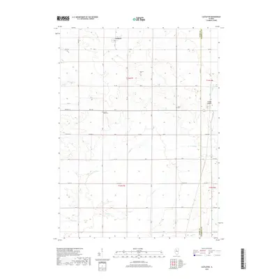
2018 Map of Castleton
USGS Topo · Published 2018About this map
The small communities of Castleton and Camp Grove anchor this modern survey of the Stark and Marshall County line. The landscape is defined by a traditional Midwestern grid of agricultural roads, including Diagonal St, Wyoming Rd, and N Valley Rd. Genealogists will find several well-preserved burial sites across the township, including Eagleston Cem, Grant Cem, and Pleasant Valley Cem. The drainage patterns of the Illinois prairie are clearly marked by the winding paths of Senachwine Cr and Camp Run, which cut through the otherwise orderly sections of T13N and T12N. These waterways and small settlements provide a detailed look at the rural character of the region as it exists today, maintaining many of the same property boundaries and road alignments established generations earlier.
Find a feature on this map
43 named features on this map. Tap any name to fly to it.
Don’t see what you’re looking for? This feature index may not catch every label — zoom into the map to look around manually.
Map Details
Editions of this 2018 Castleton Map
This is the sole edition of this map. No revisions or reprints were ever made.
Other maps of this area

1893 · Dunlap
USGS Topo · 1:62,500

1898 · Dunlap
USGS Topo · 1:62,500

1932 · Dunlap
USGS Topo · 1:62,500

1933 · Dunlap
USGS Topo · 1:62,500

1933 · Camp Grove
USGS Topo · 1:48,000

1937 · Dunlap
USGS Topo · 1:62,500

1944 · Kewanee
USGS Topo · 1:62,500

1944 · Elmwood
USGS Topo · 1:62,500

1945 · Bradford
USGS Topo · 1:62,500

1948 · Elmwood
USGS Topo · 1:62,500