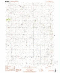
1998 Map of Castleton
USGS Topo · Published 2001About this map
Castleton and Camp Grove anchor this agricultural landscape in Stark and Marshall counties, documented in the late 1990s. The terrain is defined by the broad V Al L E Y and drainage patterns of Camp Creek and Mud Run, which cut through the fertile prairie. Historical infrastructure is evident in the Old Railroad Grade that once connected these rural outposts, reflecting a transition from rail-dependent commerce to modern aviation at the Breezy Point Landing Strip. Small-town community life is preserved through local landmarks such as St Timothy Ch and the Valley Sch. Several burial grounds, including Eagleston Cem and Pleasant Valley Cem, provide essential data for genealogists tracing family histories in the Penn and Saratoga townships during this era.
Find a feature on this map
18 named features on this map. Tap any name to fly to it.
Don’t see what you’re looking for? This feature index may not catch every label — zoom into the map to look around manually.
Map Details
Editions of this 1998 Castleton Map
This is the sole edition of this map. No revisions or reprints were ever made.
Other maps of this area

1893 · Dunlap
USGS Topo · 1:62,500

1898 · Dunlap
USGS Topo · 1:62,500

1932 · Dunlap
USGS Topo · 1:62,500

1933 · Dunlap
USGS Topo · 1:62,500

1933 · Camp Grove
USGS Topo · 1:48,000

1937 · Dunlap
USGS Topo · 1:62,500

1944 · Kewanee
USGS Topo · 1:62,500

1944 · Elmwood
USGS Topo · 1:62,500

1945 · Bradford
USGS Topo · 1:62,500

1948 · Elmwood
USGS Topo · 1:62,500