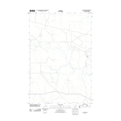
2011 Map of Cat Creek
USGS Topo · Published 2011About this map
The settlement of Cat Creek defines this quiet corner of Petroleum County, situated within a landscape carved by the meandering drainage of the eponymous Cat Creek. This 2011 survey documents a sparsely populated ranching and petroleum region in central Montana, where the road network consists primarily of essential routes like Cat Creek Rd and Jitney Rd. The terrain is characterized by intricate coulees and drainage patterns that feed into the main waterway, illustrating the environmental constraints that have historically dictated the placement of homesteads and infrastructure. For those researching the geography of the Montana petroleum industry or local family landholdings, the map provides a precise account of the modern surface features and administrative boundaries in this isolated prairie setting.
Find a feature on this map
4 named features on this map. Tap any name to fly to it.
Don’t see what you’re looking for? This feature index may not catch every label — zoom into the map to look around manually.
Map Details
Editions of this 2011 Cat Creek Map
This is the sole edition of this map. No revisions or reprints were ever made.
Other maps of this area

1954 · Jordan
USGS Topo · 1:250,000

1954 · Forsyth
USGS Topo · 1:250,000

1954 · Roundup
USGS Topo · 1:250,000

1954 · Lewistown
USGS Topo · 1:250,000

1956 · Jordan
USGS Topo · 1:250,000

1957 · Forsyth
USGS Topo · 1:250,000

1958 · Jordan
USGS Topo · 1:250,000

1958 · Roundup
USGS Topo · 1:250,000

1958 · Forsyth
USGS Topo · 1:250,000

1959 · Lewistown
USGS Topo · 1:250,000