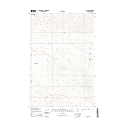
2014 Map of Cat Creek
USGS Topo · Published 2014About this map
West Dome Cat Creek Oil Field highlights the industrial character of this central Montana landscape, where petroleum extraction defines the local economy near the settlement of Cat Creek. The terrain is characterized by deeply incised drainages, including the prominent Long Coulee and Jackson Coulee, which channel seasonal runoff toward Cat Cr. Transport across these undulating flats is facilitated by a network of local thoroughfares such as Cat Creek Rd, River Rd, and Jitney Rd. To the south, the corridor of Mt-200 provides the primary arterial connection through the region. This 2014 survey illustrates the intersection of energy production and traditional ranching geography, showing how infrastructure and named features like Victor Ln are situated within the established township and range grid of Petroleum County.
Find a feature on this map
16 named features on this map. Tap any name to fly to it.
Don’t see what you’re looking for? This feature index may not catch every label — zoom into the map to look around manually.
Map Details
Editions of this 2014 Cat Creek Map
This is the sole edition of this map. No revisions or reprints were ever made.
Other maps of this area

1954 · Jordan
USGS Topo · 1:250,000

1954 · Forsyth
USGS Topo · 1:250,000

1954 · Roundup
USGS Topo · 1:250,000

1954 · Lewistown
USGS Topo · 1:250,000

1956 · Jordan
USGS Topo · 1:250,000

1957 · Forsyth
USGS Topo · 1:250,000

1958 · Jordan
USGS Topo · 1:250,000

1958 · Roundup
USGS Topo · 1:250,000

1958 · Forsyth
USGS Topo · 1:250,000

1959 · Lewistown
USGS Topo · 1:250,000