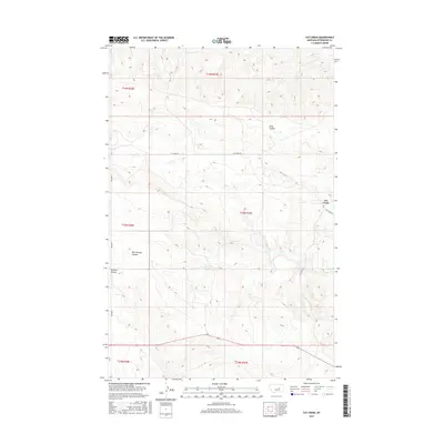
2017 Map of Cat Creek
USGS Topo · Published 2017About this map
Cat Creek serves as the focal point of this Petroleum County landscape, situated at a junction of prairie roads and drainage systems. The settlement is defined by its relationship to the surrounding terrain, particularly where the Cat Creek Rd meets Oil Field Rd, reflecting the area's history of resource extraction. The hydrology is dominated by Cat Cr, which winds through the central portion of the map, supported by numerous drainage features such as Long Coulee to the north and Bull Springs Coulee to the southwest.
Find a feature on this map
14 named features on this map. Tap any name to fly to it.
Don’t see what you’re looking for? This feature index may not catch every label — zoom into the map to look around manually.
Map Details
Editions of this 2017 Cat Creek Map
This is the sole edition of this map. No revisions or reprints were ever made.
Other maps of this area

1954 · Jordan
USGS Topo · 1:250,000

1954 · Forsyth
USGS Topo · 1:250,000

1954 · Roundup
USGS Topo · 1:250,000

1954 · Lewistown
USGS Topo · 1:250,000

1956 · Jordan
USGS Topo · 1:250,000

1957 · Forsyth
USGS Topo · 1:250,000

1958 · Jordan
USGS Topo · 1:250,000

1958 · Roundup
USGS Topo · 1:250,000

1958 · Forsyth
USGS Topo · 1:250,000

1959 · Lewistown
USGS Topo · 1:250,000