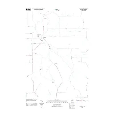
2013 Map of Cataract
USGS Topo · Published 2013About this map
Cataract serves as the central hub of this Monroe County landscape, situated at the junction where Wi-27 meets local routes near the headwaters of numerous creeks. The topography is defined by a series of distinct geographic pockets, including Daneville Valley, Brackett Valley, and Welsh Valley, which historically shaped the settlement patterns of this rural Wisconsin community. The drainage network is particularly dense here, with Rathbone Cr, Soper Cr, and the forks of Beaver Creek carving through the terrain. Evidence of the region's forestry and fire management history is anchored by the Cataract Lookout Tower located to the south. The road network, comprising names like Deerlick Ave and Carriage Ave, suggests a transition between agricultural land use and the more constrained topography of the named valleys.
Find a feature on this map
53 named features on this map. Tap any name to fly to it.
Don’t see what you’re looking for? This feature index may not catch every label — zoom into the map to look around manually.
Map Details
Editions of this 2013 Cataract Map
This is the sole edition of this map. No revisions or reprints were ever made.
Other maps of this area

1909 · Sparta
USGS Topo · 1:62,500

1916 · Tomah
USGS Topo · 1:62,500

1928 · Melrose
USGS Topo · 1:48,000

1947 · Millston
USGS Topo · 1:62,500

1947 · Sparta
USGS Topo · 1:62,500

1949 · Millston
USGS Topo · 1:62,500

1949 · Sparta
USGS Topo · 1:62,500

1949 · Tomah
USGS Topo · 1:62,500

1949 · Melrose
USGS Topo · 1:62,500

1953 · Eau Claire
USGS Topo · 1:250,000