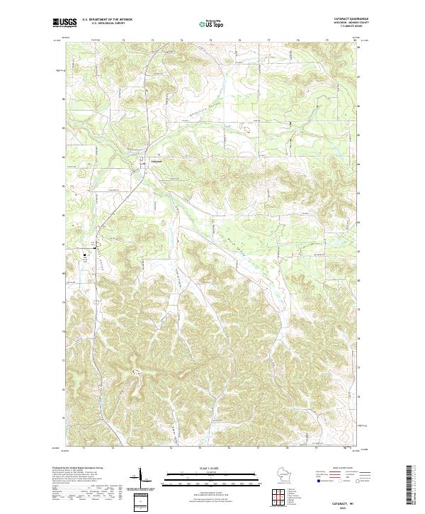
2022 Map of Cataract
USGS Topo · Published 2022About this map
The settlement of Cataract sits at the convergence of several drainages in northern Monroe County, where Rathbone Cr meets the larger flow of Big Cr. This 2022 U.S. Geological Survey topographic study reveals a landscape defined by its named valleys and ridges, including Daneville Valley and Welsh Valley. Local history is anchored by sites like Carr Cem and Oak Grove Cem, which provide specific points of interest for genealogists tracking family roots in the region. The map shows a clear transition from the stream-fed bottoms of Brackett Valley to the higher elevations crossed by Co Hwy S and Co Hwy I. The hydrography is particularly detailed, tracing the courses of Soper Cr, Jenkins Valley Cr, and Little Big Cr through the complex terrain of the driftless area.
Find a feature on this map
66 named features on this map. Tap any name to fly to it.
Don’t see what you’re looking for? This feature index may not catch every label — zoom into the map to look around manually.
Map Details
Editions of this 2022 Cataract Map
This is the sole edition of this map. No revisions or reprints were ever made.
Other maps of this area

1909 · Sparta
USGS Topo · 1:62,500

1916 · Tomah
USGS Topo · 1:62,500

1928 · Melrose
USGS Topo · 1:48,000

1947 · Millston
USGS Topo · 1:62,500

1947 · Sparta
USGS Topo · 1:62,500

1949 · Millston
USGS Topo · 1:62,500

1949 · Sparta
USGS Topo · 1:62,500

1949 · Tomah
USGS Topo · 1:62,500

1949 · Melrose
USGS Topo · 1:62,500

1953 · Eau Claire
USGS Topo · 1:250,000