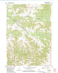
1983 Map of Cataract
USGS Topo · Published 1984About this map
The settlement of Cataract sits at the junction of Little Falls Creek and Big Creek in this 1980s topographic study of Monroe County. The landscape is defined by its deep, winding valleys, including Daneville Valley and Welsh Valley, where drainage systems like Jenkins Creek and Valley Creek have carved intricate patterns into the terrain. This era of management is reflected in the established Big Creek State Fishery Area and Evans Pond State Fishery Area, protecting the local trout streams and water resources.
Find a feature on this map
45 named features on this map. Tap any name to fly to it.
Don’t see what you’re looking for? This feature index may not catch every label — zoom into the map to look around manually.
Map Details
Editions of this 1983 Cataract Map
This is the sole edition of this map. No revisions or reprints were ever made.
Other maps of this area

1909 · Sparta
USGS Topo · 1:62,500

1916 · Tomah
USGS Topo · 1:62,500

1928 · Melrose
USGS Topo · 1:48,000

1947 · Millston
USGS Topo · 1:62,500

1947 · Sparta
USGS Topo · 1:62,500

1949 · Millston
USGS Topo · 1:62,500

1949 · Sparta
USGS Topo · 1:62,500

1949 · Tomah
USGS Topo · 1:62,500

1949 · Melrose
USGS Topo · 1:62,500

1953 · Eau Claire
USGS Topo · 1:250,000