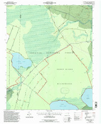
1994 Map of Catfish Lake
USGS Topo · Published 1997About this map
Catfish Lake and the surrounding pocosin wetlands dominate this portion of the Croatan National Forest during the mid-1990s. The landscape is defined by vast protected areas, including the Catfish Lake South Wilderness and the Sheep Ridge Wilderness, where the natural drainage of Black Swamp Creek and Brice Creek shapes the swampy terrain. The presence of Sheep Ridge provides a slight topographic variation in an otherwise low-lying environment characterized by several large, shallow Carolina bays like Great Lake and Long Lake.
Find a feature on this map
21 named features on this map. Tap any name to fly to it.
Don’t see what you’re looking for? This feature index may not catch every label — zoom into the map to look around manually.
Map Details
Editions of this 1994 Catfish Lake Map
2 editions found
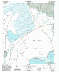
Other maps of this area

1901 · New Bern
USGS Topo · 1:62,500

1903 · New Bern
USGS Topo · 1:62,500

1942 · Maysville
USGS Topo · 1:62,500

1948 · Maysville
USGS Topo · 1:62,500

1949 · Havelock
USGS Topo · 1:24,000

1949 · Masontown
USGS Topo · 1:24,000

1950 · Pollocksville
USGS Topo · 1:24,000

1950 · New Bern
USGS Topo · 1:24,000

1950 · Upper Broad Creek
USGS Topo · 1:24,000

1951 · Masontown
USGS Topo · 1:24,000