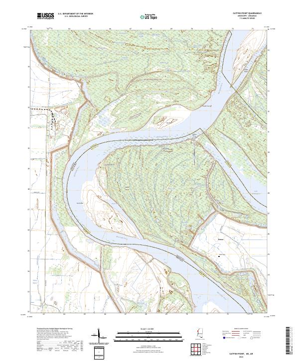
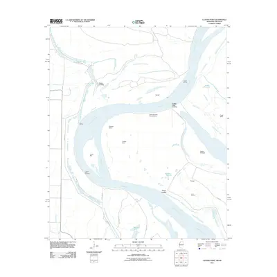
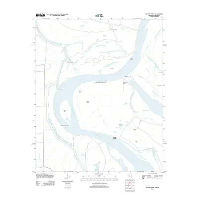
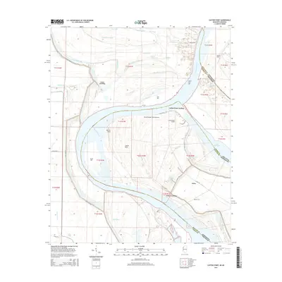
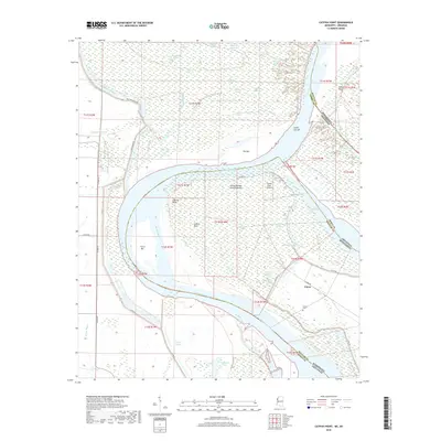
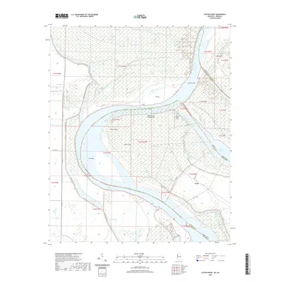
2024 Map of Catfish Point
USGS Topo · Published 2024About this map
The Mississippi River meanders across the border of Arkansas and Mississippi, defining a landscape of shifting channels, cut-offs, and remnant oxbow lakes. In this riverine environment, prominent water features like Lake Whittington and Whitehill Lake indicate former paths of the river, while newer navigation aids such as Caulk Cut-off show the ongoing engineering of the waterway. Small settlements and rural structures are concentrated near the river's edge and the protecting Levee Rd, including the community of Eutaw and its nearby Eutaw Cem.
Find a feature on this map
54 named features on this map. Tap any name to fly to it.
Don’t see what you’re looking for? This feature index may not catch every label — zoom into the map to look around manually.
Map Details
Editions of this 2024 Catfish Point Map
This is the sole edition of this map. No revisions or reprints were ever made.
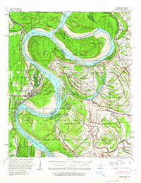
Historical Maps of Eutaw Through Time
28 maps found

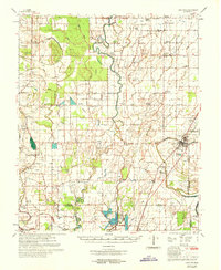
1939 Choctaw
Bolivar County, MS
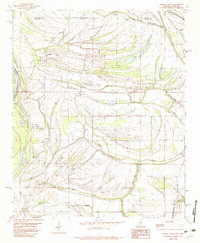
1939 Lamont
Bolivar County, MS
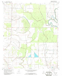
1967 Lobdell
Bolivar County, MS
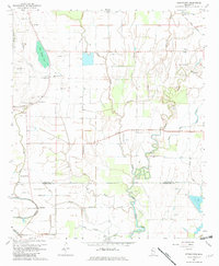
1967 Stringtown
Bolivar County, MS
1969 Choctaw
Bolivar County, MS
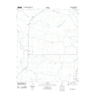
1982 Round Lake
Bolivar County, MS
2011 Catfish Point
Bolivar County, MS
2011 Round Lake
Bolivar County, MS
2012 Catfish Point
Bolivar County, MS
2012 Lobdell
Bolivar County, MS
2012 Round Lake
Bolivar County, MS
2012 Stringtown
Bolivar County, MS
2015 Catfish Point
Bolivar County, MS
2015 Lobdell
Bolivar County, MS
2015 Round Lake
Bolivar County, MS
2015 Stringtown
Bolivar County, MS
2018 Catfish Point
Bolivar County, MS
2018 Lobdell
Bolivar County, MS
2018 Round Lake
Bolivar County, MS
2018 Stringtown
Bolivar County, MS
2020 Catfish Point
Bolivar County, MS
2020 Lobdell
Bolivar County, MS
2020 Round Lake
Bolivar County, MS
2020 Stringtown
Bolivar County, MS
2024 Catfish Point
Bolivar County, MS
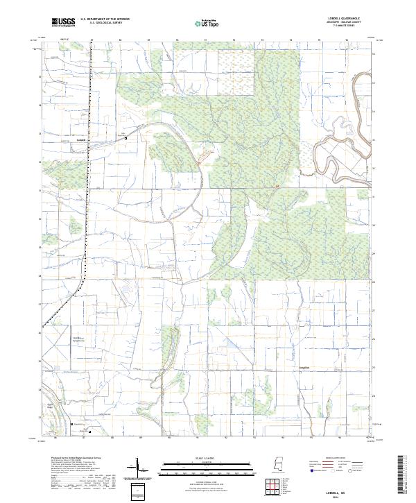
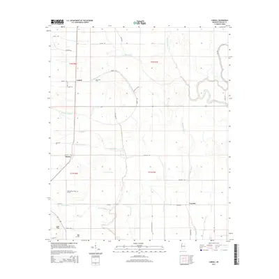
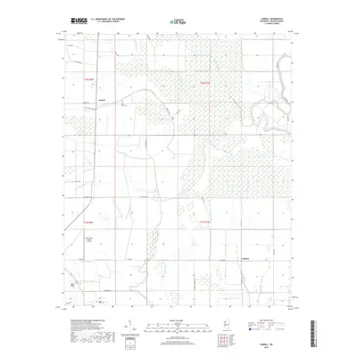
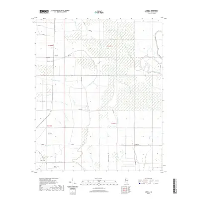
2024 Lobdell
Bolivar County, MS
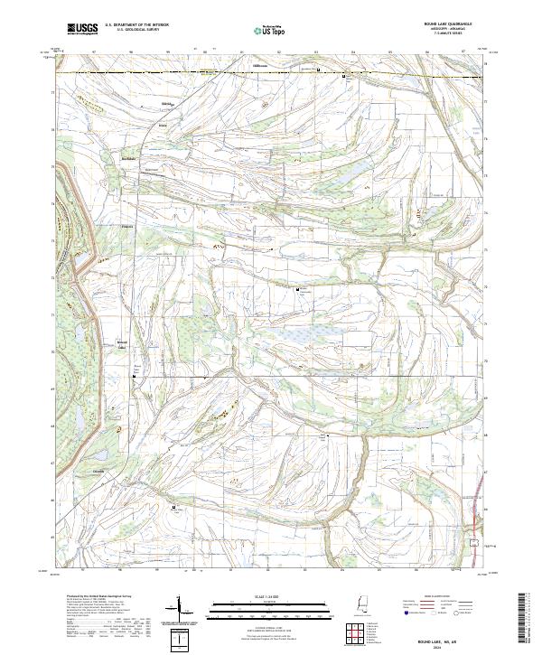
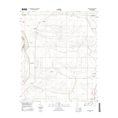
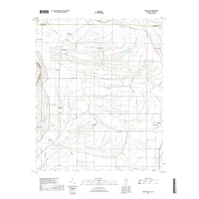
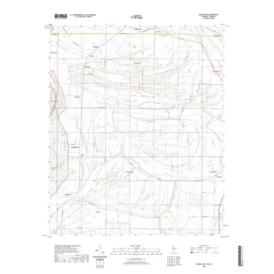
2024 Round Lake
Bolivar County, MS
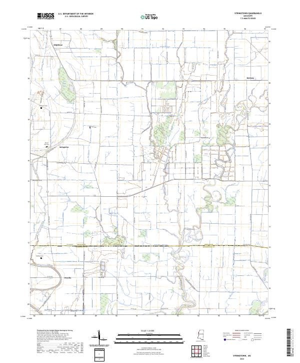
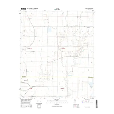
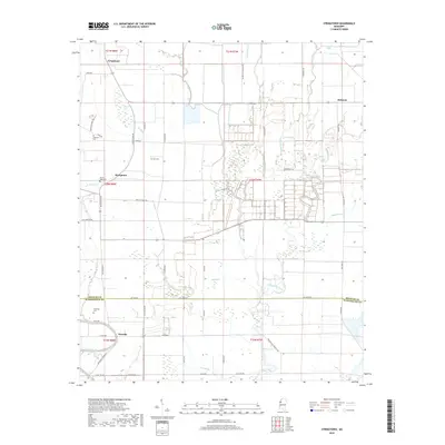
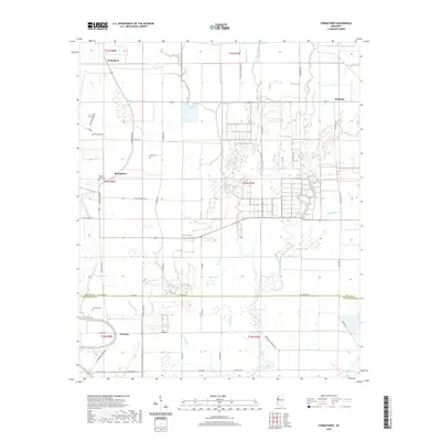
2024 Stringtown
Bolivar County, MS