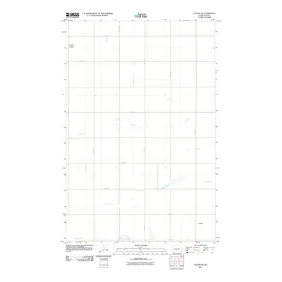
2011 Map of Cathay SE
USGS Topo · Published 2011About this map
Norwegian Lutheran Cemetery sits in the northwest corner of this prairie landscape, serving as a quiet landmark for local family history and genealogy. The terrain is defined by its subtle drainage patterns, where Rocky Run and Scotts Slough meander across the plains towards Pipestem Creek in the south. The grid of section roads, including 14th St NE and 55th Ave NE, reinforces the agricultural layout of Foster County.
Find a feature on this map
18 named features on this map. Tap any name to fly to it.
Don’t see what you’re looking for? This feature index may not catch every label — zoom into the map to look around manually.
Map Details
Editions of this 2011 Cathay SE Map
This is the sole edition of this map. No revisions or reprints were ever made.
Other maps of this area

1948 · New Rockford
USGS Topo · 1:62,500

1948 · Cathay
USGS Topo · 1:62,500

1948 · Carrington
USGS Topo · 1:62,500

1948 · Bremen
USGS Topo · 1:24,000

1949 · Bremen
USGS Topo · 1:24,000

1949 · Cathay
USGS Topo · 1:24,000

1949 · Cathay SE
USGS Topo · 1:24,000

1949 · Munster
USGS Topo · 1:24,000

1950 · New Rockford
USGS Topo · 1:24,000

1950 · Barlow
USGS Topo · 1:24,000