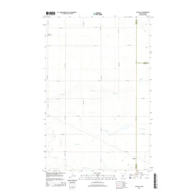
2014 Map of Cathay SE
USGS Topo · Published 2014About this map
Lemert sits at the southern edge of this landscape where the boundaries of Wells and Foster Counties meet. The terrain is defined by the winding course of Rocky Run, which cuts through the central portion of the map, and the expansive marshland of Scotts Slough to the south. Near the northwestern corner, the Norwegian Lutheran Cem serves as a significant marker of the area's pioneer heritage and the settlement patterns of Scandinavian immigrants who established farming communities across these plains. A rigid grid of section roads, including 60th Ave NE and 14th St NE, overlays the natural drainage of Pipestem Cr, illustrating the enduring impact of the Public Land Survey System on the modern North Dakota agricultural geography.
Find a feature on this map
23 named features on this map. Tap any name to fly to it.
Don’t see what you’re looking for? This feature index may not catch every label — zoom into the map to look around manually.
Map Details
Editions of this 2014 Cathay SE Map
This is the sole edition of this map. No revisions or reprints were ever made.
Other maps of this area

1948 · New Rockford
USGS Topo · 1:62,500

1948 · Cathay
USGS Topo · 1:62,500

1948 · Carrington
USGS Topo · 1:62,500

1948 · Bremen
USGS Topo · 1:24,000

1949 · Bremen
USGS Topo · 1:24,000

1949 · Cathay
USGS Topo · 1:24,000

1949 · Cathay SE
USGS Topo · 1:24,000

1949 · Munster
USGS Topo · 1:24,000

1950 · New Rockford
USGS Topo · 1:24,000

1950 · Barlow
USGS Topo · 1:24,000