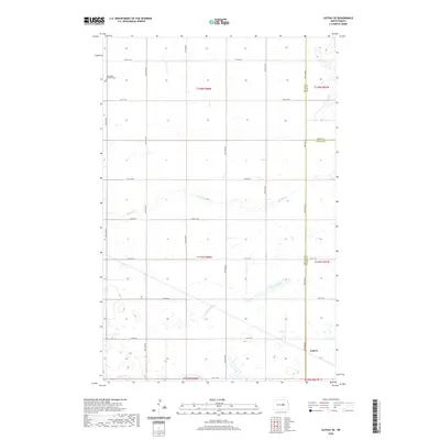
2020 Map of Cathay SE
USGS Topo · Published 2020About this map
Lemert stands as a small rail-side community in Foster County during the early 21st century, positioned near the intersection of several county boundaries where Wells, Eddy, and Foster counties meet. The landscape is defined by the prairie hydrology of the Missouri Coteau, characterized by numerous seasonal wetlands and the meandering courses of Rocky Run and Scotts Slough. To the southwest, Pipestem Cr drains through the rolling terrain, reflecting a region deeply tied to agricultural section lines and rural infrastructure. Local heritage is centered at the Norwegian Lutheran Cem in the northwestern portion of the map, a site that preserves the history of Scandinavian settlement and early religious life in these central North Dakota townships.
Find a feature on this map
23 named features on this map. Tap any name to fly to it.
Don’t see what you’re looking for? This feature index may not catch every label — zoom into the map to look around manually.
Map Details
Editions of this 2020 Cathay SE Map
This is the sole edition of this map. No revisions or reprints were ever made.
Other maps of this area

1948 · New Rockford
USGS Topo · 1:62,500

1948 · Cathay
USGS Topo · 1:62,500

1948 · Carrington
USGS Topo · 1:62,500

1948 · Bremen
USGS Topo · 1:24,000

1949 · Bremen
USGS Topo · 1:24,000

1949 · Cathay
USGS Topo · 1:24,000

1949 · Cathay SE
USGS Topo · 1:24,000

1949 · Munster
USGS Topo · 1:24,000

1950 · New Rockford
USGS Topo · 1:24,000

1950 · Barlow
USGS Topo · 1:24,000