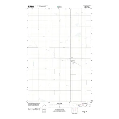
2011 Map of Cathay
USGS Topo · Published 2011About this map
Cathay stands as the central settlement in this North Dakota landscape, situated along the winding course of Rocky Run. The community's local geography is defined by a grid of numbered roads, including 1st St and 2nd St, which converge near the Cathay Dam. To the northwest of the town center, Lake View Cemetery provides a primary point of interest for genealogists and local historians tracing family lineages in Wells County. The surrounding terrain is largely defined by the agricultural grid of section-line roads such as 52nd Ave NE and 11th St NE, illustrating the persistent prairie settlement patterns of the early twenty-first century.
Find a feature on this map
21 named features on this map. Tap any name to fly to it.
Don’t see what you’re looking for? This feature index may not catch every label — zoom into the map to look around manually.
Map Details
Editions of this 2011 Cathay Map
This is the sole edition of this map. No revisions or reprints were ever made.
Other maps of this area

1948 · Cathay
USGS Topo · 1:62,500

1948 · Fessenden
USGS Topo · 1:62,500

1948 · Bremen
USGS Topo · 1:24,000

1949 · Bremen
USGS Topo · 1:24,000

1949 · Cathay
USGS Topo · 1:24,000

1949 · Cathay SE
USGS Topo · 1:24,000

1949 · Fessenden East
USGS Topo · 1:24,000

1949 · Munster
USGS Topo · 1:24,000

1949 · Emrick
USGS Topo · 1:24,000

1951 · Heaton
USGS Topo · 1:24,000