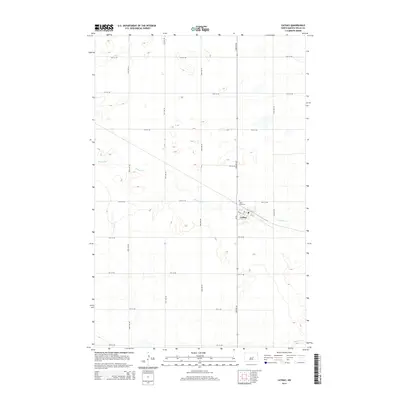
2014 Map of Cathay
USGS Topo · Published 2014About this map
Cathay stands as the primary hub of this Wells County landscape, situated along the diagonal path of a railroad line in a region defined by agricultural grids and prairie waterways. The town center is marked by its Po and a structured street plan including 1st St and 1st Ave. Just to the northwest, the Lake View Cem overlooks the surrounding terrain, providing a point of interest for genealogists tracing local families. The physical geography is shaped by the wandering courses of Rocky Run and the southern appearance of Pipestem Cr. A dense network of section-line roads, such as 50th Ave NE and 10th St NE, corridors the open land, reflecting the persistent organization of North Dakota's farming heartland during the early 21st century.
Find a feature on this map
22 named features on this map. Tap any name to fly to it.
Don’t see what you’re looking for? This feature index may not catch every label — zoom into the map to look around manually.
Map Details
Editions of this 2014 Cathay Map
This is the sole edition of this map. No revisions or reprints were ever made.
Other maps of this area

1948 · Cathay
USGS Topo · 1:62,500

1948 · Fessenden
USGS Topo · 1:62,500

1948 · Bremen
USGS Topo · 1:24,000

1949 · Bremen
USGS Topo · 1:24,000

1949 · Cathay
USGS Topo · 1:24,000

1949 · Cathay SE
USGS Topo · 1:24,000

1949 · Fessenden East
USGS Topo · 1:24,000

1949 · Munster
USGS Topo · 1:24,000

1949 · Emrick
USGS Topo · 1:24,000

1951 · Heaton
USGS Topo · 1:24,000