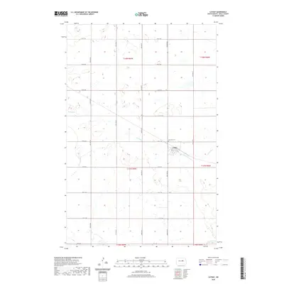
2020 Map of Cathay
USGS Topo · Published 2020About this map
Cathay stands as a primary focal point in this portion of Wells County, situated where the local road network of 2nd St and 1st St meets the rural landscape. The settlement is positioned just south of the Lake View Cem, reflecting the early 21st-century footprint of this North Dakota community. The surrounding terrain is defined by the wandering path of Rocky Run, which cuts across the central sections of the quadrangle before moving toward the southeast corner.
Find a feature on this map
21 named features on this map. Tap any name to fly to it.
Don’t see what you’re looking for? This feature index may not catch every label — zoom into the map to look around manually.
Map Details
Editions of this 2020 Cathay Map
This is the sole edition of this map. No revisions or reprints were ever made.
Other maps of this area

1948 · Cathay
USGS Topo · 1:62,500

1948 · Fessenden
USGS Topo · 1:62,500

1948 · Bremen
USGS Topo · 1:24,000

1949 · Bremen
USGS Topo · 1:24,000

1949 · Cathay
USGS Topo · 1:24,000

1949 · Cathay SE
USGS Topo · 1:24,000

1949 · Fessenden East
USGS Topo · 1:24,000

1949 · Munster
USGS Topo · 1:24,000

1949 · Emrick
USGS Topo · 1:24,000

1951 · Heaton
USGS Topo · 1:24,000