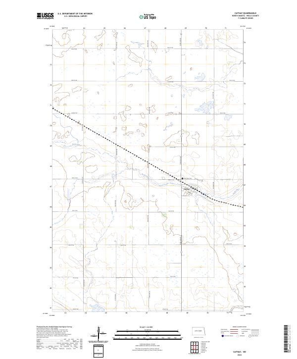
2024 Map of Cathay
USGS Topo · Published 2024About this map
Cathay serves as the primary hub of this Wells County landscape, characterized by a highly organized grid of township and range lines. The settlement is positioned along a corridor that mirrors the winding path of Rocky Run, a watercourse that drains the surrounding prairie. To the northwest of the town center, Lake View Cem provides a specific point of interest for genealogists and local historians tracing family lineages in this part of North Dakota. The map detail highlights the rigid section-line road network, including thoroughfares such as 10th St NE and 52nd Ave NE, which partition the agricultural terrain into the precise squares typical of the Great Plains’ land management history.
Find a feature on this map
25 named features on this map. Tap any name to fly to it.
Don’t see what you’re looking for? This feature index may not catch every label — zoom into the map to look around manually.
Map Details
Editions of this 2024 Cathay Map
This is the sole edition of this map. No revisions or reprints were ever made.
Other maps of this area

1948 · Cathay
USGS Topo · 1:62,500

1948 · Fessenden
USGS Topo · 1:62,500

1948 · Bremen
USGS Topo · 1:24,000

1949 · Bremen
USGS Topo · 1:24,000

1949 · Cathay
USGS Topo · 1:24,000

1949 · Cathay SE
USGS Topo · 1:24,000

1949 · Fessenden East
USGS Topo · 1:24,000

1949 · Munster
USGS Topo · 1:24,000

1949 · Emrick
USGS Topo · 1:24,000

1951 · Heaton
USGS Topo · 1:24,000