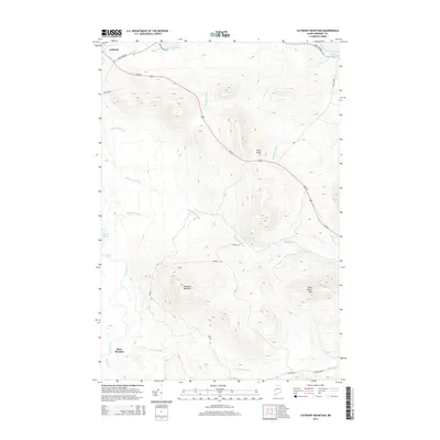
2014 Map of Catheart Mountain
USGS Topo · Published 2014About this map
Jackman serves as the primary hub of this Somerset County landscape, where the confluence of highland terrain and critical waterways has long shaped the local character. The area is defined by significant elevations such as Catheart Mountain, Bean Brook Mtn, and the distinctive Owls Head, while the Moose River and Attean Pond anchor the drainage network to the west. A complex system of interior roads, including the notably named Mining Rd and School Rd, indicates a history of resource extraction and local community development tucked between the peaks. These routes, alongside the primary thoroughfare of Main St, trace the narrow corridors through which commerce and travel flowed. Researchers can observe the intricate hydrography of the region through numerous named tributaries like Thompson Brook and Williams Brook, which descend from the surrounding summits toward Attean Falls.
Find a feature on this map
26 named features on this map. Tap any name to fly to it.
Don’t see what you’re looking for? This feature index may not catch every label — zoom into the map to look around manually.
Map Details
Editions of this 2014 Catheart Mountain Map
This is the sole edition of this map. No revisions or reprints were ever made.
Other maps of this area

1922 · Long Pond
USGS Topo · 1:62,500

1923 · Attean
USGS Topo · 1:62,500

1924 · Long Pond
USGS Topo · 1:62,500

1925 · Pierce Pond
USGS Topo · 1:48,000

1925 · Attean
USGS Topo · 1:62,500

1927 · Pierce Pond
USGS Topo · 1:62,500

1928 · Spencer
USGS Topo · 1:48,000

1932 · Spencer
USGS Topo · 1:62,500

1944 · Long Pond
USGS Topo · 1:62,500

1944 · Pierce Pond
USGS Topo · 1:62,500
Featured Places
- Jackman, ME
- Misery Gore, ME
- Upper Enchanted Township, ME
- Three Streams, Bradstreet Township
- Attean Township, ME