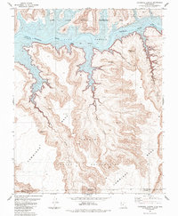
1985 Map of Cathedral Canyon
USGS Topo · Published 1985About this map
Lake Powell and the winding course of the Colorado River dominate this 1985 landscape on the border of Utah and Arizona. The map depicts the complex intersection of the Navajo Indian Reservation and the Glen Canyon National Recreation Area, highlighting a region defined by dramatic elevation changes. Massive landforms such as Cummings Mesa rise above the deep incisions of Cathedral Canyon and Wetherill Canyon. Small natural landmarks are meticulously charted, including named spans like Carrot Top Arch and Keyhole Arch, alongside prominent high points such as Cathedral Butte. The surveyor’s detail captures the early years of the reservoir's maturity, showing the pool elevation at 3,700 feet where the desert floor meets the rising waters of the Colorado.
Find a feature on this map
19 named features on this map. Tap any name to fly to it.
Don’t see what you’re looking for? This feature index may not catch every label — zoom into the map to look around manually.
Map Details
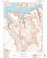
Editions of this 1985 Cathedral Canyon Map
2 editions found
Other maps of this area

1883 · Marsh Pass
USGS Topo · 1:250,000

1886 · Escalante
USGS Topo · 1:250,000

1886 · Henry Mountains
USGS Topo · 1:250,000

1886 · Echo Cliffs
USGS Topo · 1:250,000

1891 · Echo Cliffs
USGS Topo · 1:250,000

1892 · Marsh Pass
USGS Topo · 1:250,000

1892 · Henry Mountains
USGS Topo · 1:250,000

1953 · Cummings Mesa
USGS Topo · 1:62,500

1953 · Navajo Mountain
USGS Topo · 1:62,500

1954 · Navajo Creek
USGS Topo · 1:62,500