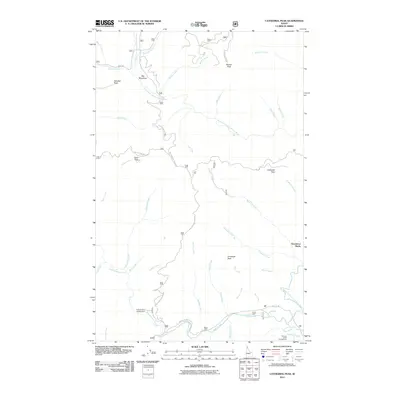
2011 Map of Cathedral Peak
USGS Topo · Published 2011About this map
Cathedral Peak stands as a prominent landmark in this section of Shoshone County, Idaho, where the high ridges of the Coeur d'Alene National Forest dictate the path of travel. The terrain is defined by a dense network of drainages feeding into the North Fork Coeur d'Alene River, including Independence Creek and Tepee Creek. These river corridors historically served as the primary routes through the mountains, a pattern reflected in the modern placement of Independence Creek Rd and Tepee Cr Rd.
Find a feature on this map
45 named features on this map. Tap any name to fly to it.
Don’t see what you’re looking for? This feature index may not catch every label — zoom into the map to look around manually.
Map Details
Editions of this 2011 Cathedral Peak Map
This is the sole edition of this map. No revisions or reprints were ever made.
Other maps of this area

1909 · Cataldo
USGS Topo · 1:125,000

1911 · Cataldo
USGS Topo · 1:125,000

1911 · Priest Lake
USGS Topo · 1:250,000

1913 · Priest Lake
USGS Topo · 1:250,000

1949 · Packsaddle Mtn
USGS Topo · 1:62,500

1951 · Packsaddle Mtn
USGS Topo · 1:62,500

1951 · Clark Fork
USGS Topo · 1:62,500

1955 · Spokane
USGS Topo · 1:250,000

1958 · Spokane
USGS Topo · 1:250,000

1958 · Sandpoint
USGS Topo · 1:250,000