
1951 Map of Clark Fork
USGS Topo · Published 1952About this map
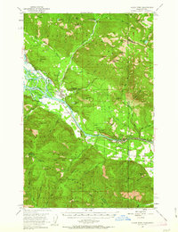
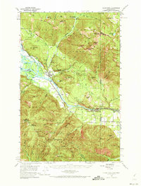
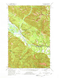
Clark Fork serves as the focal point of this 1951 survey, situated along the Northern Pacific railroad as it follows the path of the massive Clark Fork river. This era captures a landscape of intense resource extraction and early hydroelectric development, evidenced by the cluster of active and inactive workings such as the Whitedelf Mine, Hope Mine, and the Lawrence Mine. The map highlights a significant pending geographical change, with blue hatching indicating the area soon to be submerged by the completion of Albeni Falls Dam, including portions of the river valley near Derr Island.
Find a feature on this map
74 named features on this map. Tap any name to fly to it.
Don’t see what you’re looking for? This feature index may not catch every label — zoom into the map to look around manually.
Map Details
Editions of this 1951 Clark Fork Map
4 editions found
Other maps of this area

1909 · Cataldo
USGS Topo · 1:125,000

1911 · Cataldo
USGS Topo · 1:125,000

1911 · Priest Lake
USGS Topo · 1:250,000

1913 · Priest Lake
USGS Topo · 1:250,000

1920 · Libby
USGS Topo · 1:125,000

1930 · Libby
USGS Topo · 1:125,000

1932 · Libby
USGS Topo · 1:125,000

1932 · Trout Creek
USGS Topo · 1:125,000

1935 · Trout Creek
USGS Topo · 1:125,000

1936 · Trout Creek
USGS Topo · 1:125,000