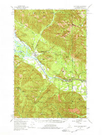
1951 Map of Clark Fork
USGS Topo · Published 1978About this map
Clark Fork sits at the heart of this Idaho-Montana borderlands survey, where the Northern Pacific railroad tracks trace the northern bank of the Clark Fork river. The landscape is defined by its industrial and infrastructure projects at the start of the 1950s, most notably the Cabinet Gorge Dam and the nearby State Fish Hatchery. Significant blue hatching on the map identifies the specific areas designated to be submerged by the completion of the Albeni Falls Dam, providing a precise record of the valley floor before its permanent alteration.
Find a feature on this map
61 named features on this map. Tap any name to fly to it.
Don’t see what you’re looking for? This feature index may not catch every label — zoom into the map to look around manually.
Map Details
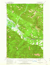
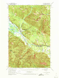
Editions of this 1951 Clark Fork Map
4 editions found

Other maps of this area

1909 · Cataldo
USGS Topo · 1:125,000

1911 · Cataldo
USGS Topo · 1:125,000

1911 · Priest Lake
USGS Topo · 1:250,000

1913 · Priest Lake
USGS Topo · 1:250,000

1920 · Libby
USGS Topo · 1:125,000

1930 · Libby
USGS Topo · 1:125,000

1932 · Libby
USGS Topo · 1:125,000

1932 · Trout Creek
USGS Topo · 1:125,000

1935 · Trout Creek
USGS Topo · 1:125,000

1936 · Trout Creek
USGS Topo · 1:125,000