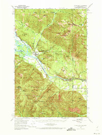
1951 Map of Clark Fork
USGS Topo · Published 1973About this map
The town of Clark Fork sits as the central hub of this northern Idaho landscape, situated where the Clark Fork river widens near Derr Island. During the early 1950s, the region was defined by a mix of heavy industry and rugged conservation, with the Northern Pacific railroad providing critical transport through the valley. Resource extraction is evident at the Hope Mine and Lawrence Mine, while the State Fish Hatchery and Clark Fork Ranger Sta reflect the management of the surrounding Kaniksu National Forest.
Find a feature on this map
64 named features on this map. Tap any name to fly to it.
Don’t see what you’re looking for? This feature index may not catch every label — zoom into the map to look around manually.
Map Details
Editions of this 1951 Clark Fork Map
4 editions found

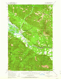
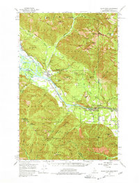
Other maps of this area

1909 · Cataldo
USGS Topo · 1:125,000

1911 · Cataldo
USGS Topo · 1:125,000

1911 · Priest Lake
USGS Topo · 1:250,000

1913 · Priest Lake
USGS Topo · 1:250,000

1920 · Libby
USGS Topo · 1:125,000

1930 · Libby
USGS Topo · 1:125,000

1932 · Libby
USGS Topo · 1:125,000

1932 · Trout Creek
USGS Topo · 1:125,000

1935 · Trout Creek
USGS Topo · 1:125,000

1936 · Trout Creek
USGS Topo · 1:125,000