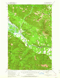
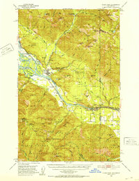
1951 Map of Clark Fork
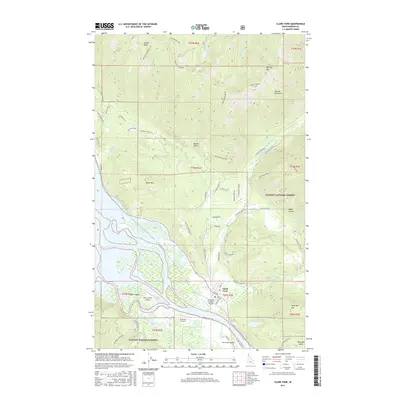
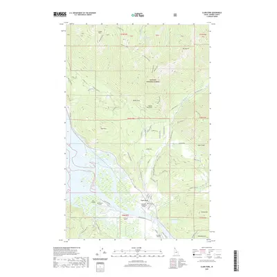
USGS Topo · Published 1963About this map
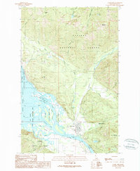
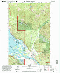
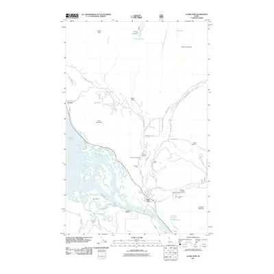
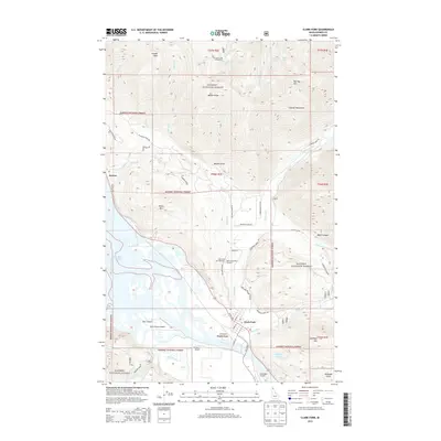
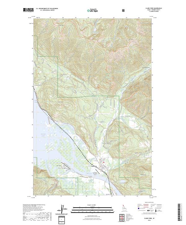
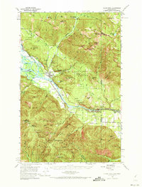
The Clark Fork settlement serves as the focal point of this mid-century Idaho-Montana border survey, situated where Lightning Creek meets the river. The landscape is defined by its industrial and resource-extraction history, marked by several active and historic mining operations such as the Whitedelf Mine, Hope Mine, and the Lawrence Mine near Mosquito Creek. A significant transition is recorded along the riverbanks, where blue hatching indicates areas slated for submergence following the completion of the Albeni Falls Dam, an insight into how the hydroelectric development of the era permanently altered the local geography. Transportation and infrastructure are anchored by the Northern Pacific railroad corridor and the Cabinet Gorge Dam. The map also captures the educational and conservation footprint of the region, from the River Echo Sch (Aband) to the State Fish Hatchery and several forest service sites like the Clark Fork Ranger Sta.
Find a feature on this map
71 named features on this map. Tap any name to fly to it.
Don’t see what you’re looking for? This feature index may not catch every label — zoom into the map to look around manually.
Map Details
Editions of this 1951 Clark Fork Map
4 editions found
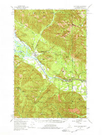
Historical Maps of Clark Fork Through Time
8 maps found